
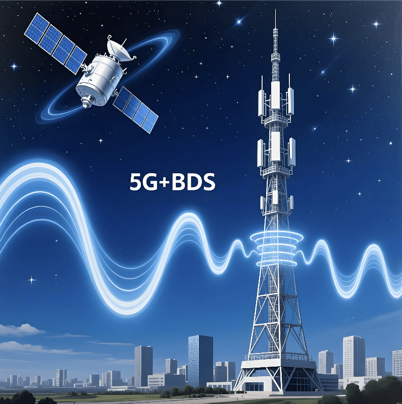
Introduction: Why the Future Needs More Than Connectivity
As industries push toward autonomous operations, they are realizing a critical gap: connectivity alone cannot support intelligent collaboration. Autonomous vehicles, drones, inspection robots, and dispersed sensors all need a shared space-time foundation to operate safely and cohesively. This is why 5G BDS Integration is becoming the core infrastructure of industrial digitalization. More than a mix of wireless communication and satellite positioning, it represents the emergence of spatio-temporal compute—a capability that unifies centimeter-level accuracy and millisecond-level responsiveness, allowing machines to understand the physical world through a common coordinate system for the first time.
Table of contents
- Introduction: Why the Future Needs More Than Connectivity
- From “More Accuracy” to “Spatio-Temporal Compute”: A New Interpretation of 5G + BDS
- The Unified Spatial OS: The Missing Operating System for Machines
- The Real Pain Points: Why Industries Cannot Wait Any Longer
- Beyond Wireless: The Rise of Spatial RAN and PNT-Native Networks
- Real Industry Use Cases Where 5G BDS Integration Becomes Foundational
- Conclusion: 5G BDS Integration Is the Foundation of Real-World AI
From “More Accuracy” to “Spatio-Temporal Compute”: A New Interpretation of 5G + BDS
Most mainstream discussions describe 5G + BDS as an enhancement:
“higher accuracy, lower latency, better stability.”
But this view is outdated and insufficient.
Spatio-Temporal Compute: A New Industrial Superpower
5G BDS Integration unlocks something fundamentally different:
- Centimeter-level shared spatial coordinates
- Millisecond-level decision loops
- Microsecond-level time synchronization
- Real-time world modeling for machines
Together, these capabilities form a spatio-temporal compute layer, meaning machines can finally:
- Understand where they are
- Understand where everything else is
- Predict movements
- Align actions with other devices
- Operate on the same world model
This is not “better accuracy” — this is the emergence of a machine-native understanding of the world.
It is as if machines receive a built-in brain GPS, integrated directly into communication networks.
The Unified Spatial OS: The Missing Operating System for Machines
Human collaboration relies on standardized time zones, maps, coordinate systems, and navigation rules. Machines need the same foundation — yet industries have lacked a unified spatial layer.
This is why 5G BDS Integration acts as the foundation of a Unified Spatial OS, which provides:
- A universal centimeter-level coordinate system
- A microsecond-synchronized timeline
- A shared navigation and perception baseline
- Cross-device, cross-domain spatial consistency
Without a Unified Spatial OS, collaboration breaks down
Consider the following:
- A drone detects an anomaly at “its” coordinate, but the ground robot interprets that location differently.
- An autonomous patrol vehicle’s map is misaligned with a substation robot’s coordinate system.
- Roadside units and autonomous cars cannot agree on lane-level positions.
These inconsistencies make true collaboration impossible.
5G BDS Integration solves this by giving all devices a common spatial language, enabling:
- multi-robot collaboration,
- cross-system automation,
- real-time industrial orchestration.
This is the operating system the physical world has been missing.
The Real Pain Points: Why Industries Cannot Wait Any Longer
Most technical articles highlight features, but industry adoption is driven by pain points, not buzzwords. Below are the real constraints that make 5G BDS Integration essential.
Pain Point 1: Critical outdoor and remote areas lack accurate positioning
Industries such as:
- Power transmission
- Mining
- Ports
- Highways
- Oil & gas fields
operate in environments where GNSS signals, traditional networks, or Wi-Fi are unreliable.
5G BDS Integration brings:
- local RTK base stations
- redundant correction sources
- wide-area centimeter coverage
- high reliability in rugged terrain
Automation cannot mature without this foundational layer.
Pain Point 2: Power grids require absolute time synchronization
Modern power systems depend on microsecond-level precision for:
- fault detection
- distributed energy protection
- synchronized phasor measurements
- wide-area control
BDS provides PPS-level timing, enabling precise coordination across substations, grid-edge devices, and inspection robots.
Without this time alignment, the grid cannot safely automate.
Pain Point 3: Transportation needs lane-level “car-road-cloud” coexistence
Cooperative driving requires a unified coordinate system across:
- vehicles
- roadside infrastructure
- traffic sensors
- cloud platforms
5G BDS Integration ensures:
- lane-level accuracy
- consistent road geometry
- coordinated collision prediction
- safe vehicle-to-everything interactions
A fragmented positioning system means fragmented intelligent transport.
Beyond Wireless: The Rise of Spatial RAN and PNT-Native Networks
To support spatio-temporal compute at scale, wireless networks must evolve beyond throughput and latency.
This leads to emerging architectures powered by 5G BDS Integration:
Spatial RAN (sRAN)
A network where every 5G base station becomes:
- a spatial reference point
- a positioning anchor
- a time synchronization node
Spatial RAN offers:
- network-native positioning
- real-time spatial modeling
- cross-device alignment
PNT-Native Network
A network where Positioning, Navigation, Timing (PNT) are not “services,” but built-in network primitives, enabling:
- autonomous navigation
- predictive control
- risk-aware decision-making
- synchronized digital twins
These architectures redefine what wireless networks are capable of.
Real Industry Use Cases Where 5G BDS Integration Becomes Foundational
These scenarios demonstrate why this integration is not optional.
- Ports: The foundation of full-scene automation
- Autonomous trucks follow exact routes
- Cranes position containers precisely
- Drones monitor high-risk areas
- Digital twins run in real time
All powered by centimeter-level spatial alignment.
- Mining: Safe, autonomous, and high-precision operations
- Autonomous haul trucks
- Blast zone measurement
- Underground navigation
- Robot-environment awareness
The Unified Spatial OS eliminates the risk of spatial mismatches.
- Power Grids: Time-driven automation at scale
- Synchronized substations
- Line-patrol robots
- Precision fault localization
- Grid-edge coordination
5G BDS Integration ensures microsecond alignment.
- Transportation: Car-Road-Cloud symbiosis
- Cooperative lane merging
- Collision prediction
- Real-time traffic twins
- City-level orchestration
Spatial consistency is the basis of safety.
Conclusion: 5G BDS Integration Is the Foundation of Real-World AI
The next decade of industrial transformation will not be defined by cloud computing or connectivity alone. It will be defined by spatio-temporal intelligence — machines understanding the real world with precision, consistency, and anticipation.
This requires:
- centimeter-grade spatial truth
- microsecond synchronization
- millisecond communication loops
- unified world models
- PNT-native networks
In short, it requires 5G BDS Integration as the new infrastructure layer.
This is more than IoT evolution.
It is the beginning of a world where machines truly understand space and time — and collaborate safely within it.